Start with the gate
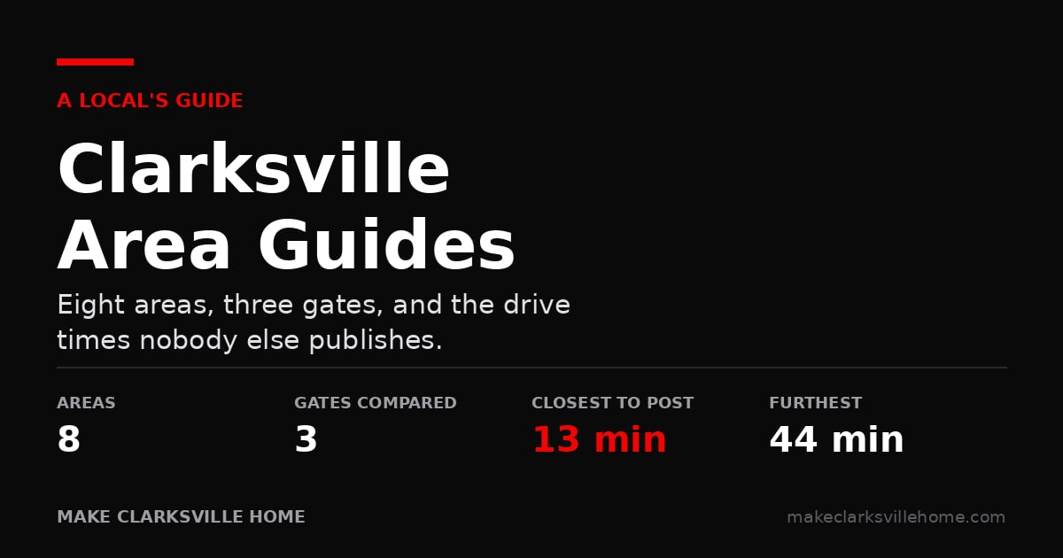
Most people move to Clarksville and pick an area the way you would in any town: price, schools, how a street feels on a Saturday. Then they discover that the single biggest factor in their day is which Fort Campbell gate they report to, and that nobody told them the areas differ by more than twenty minutes on that one measure.
So start there. Find out which gate you will be using before you decide where to live. It is the most useful question a soldier can answer early, and most people only work it out after they have signed something.
Then use the table. Every figure here was measured in Google Maps, not estimated — the first number is an off-peak run, the number in brackets is what a 7am weekday typically looks like.
Every area, side by side
Sorted by the drive to Gate 4, closest first.
Area | Gate 4 | Gate 7 | Gate 10 | Downtown | I-24 |
|---|---|---|---|---|---|
13 (10–22) | 17 (16–22) | 20 (18–35) | 17 min | At the exit | |
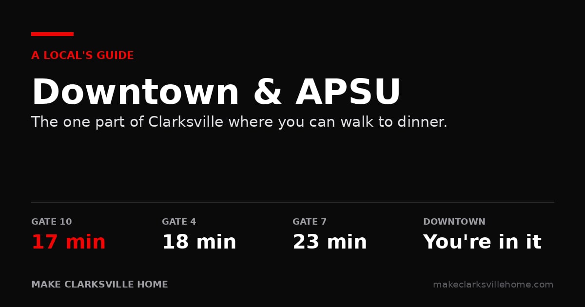
18 (14–30) | 23 (18–40) | 17 (14–24) | You are in it | Exit 4 or 11 | |
19 (18–28) | not viable | 12 (12–16) | 15 min | 20 min | |
20 (18–28) | 20–24 | 20–22 | 11–15 | At the exit | |
26 (26–40) | 27 (26–35) | 27 (22–40) | 18 min | At the exit | |
28 (26–40) | 29 (26–40) | 34 (30–50) | 20 min | At the exit | |
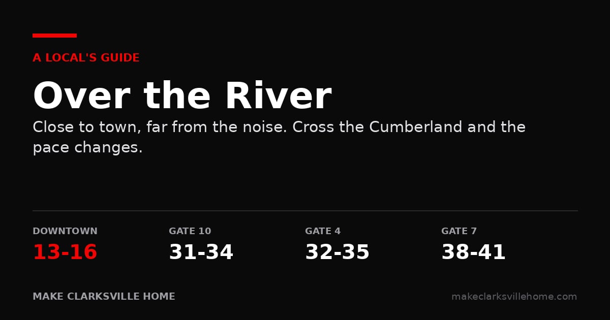
32–35 | 38–41 | 31–34 | 13–16 | 26 min | |
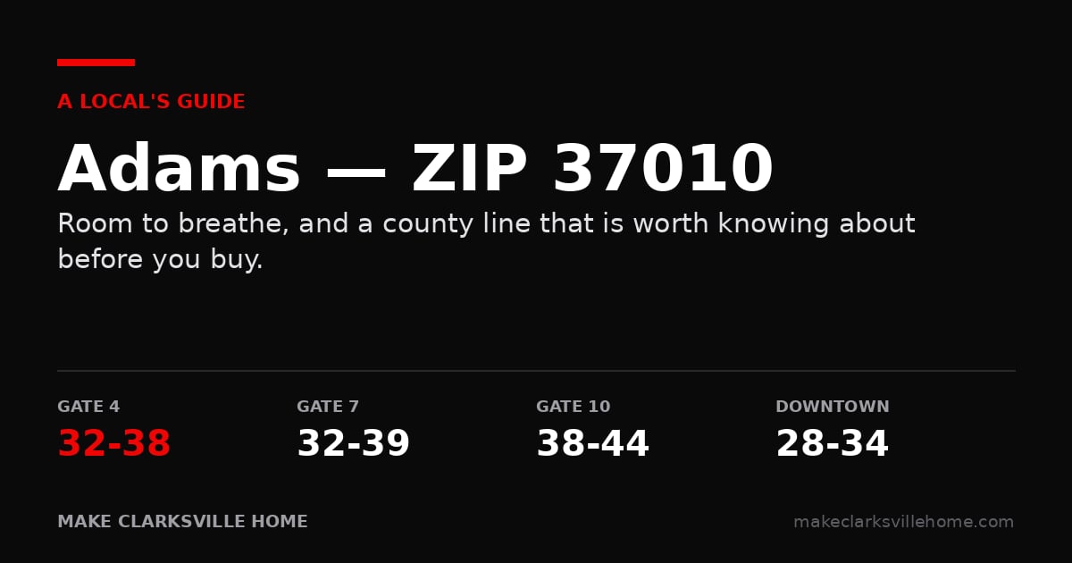
32–38 | 32–39 | 38–44 | 28–34 | Exit 11 |
What the table does not tell you
Four things worth knowing before you read any of the guides.
The gate matters more in some areas than others. Out at Woodlawn, Gate 10 is twelve minutes and Gate 7 is more than double that — a fourteen-minute swing depending on where you report. Around St. Bethlehem and Exit 4 the spread is four minutes. If you do not yet know your gate, that difference is worth real money.
Close to town and close to post are not the same thing. Over the River is thirteen minutes from Public Square and more than half an hour from every gate, because the Cumberland puts post on the far side of town. It is the only area where those two come apart completely.
Schools are decided by address, not by area. Most of Clarksville straddles two or three clusters, and two houses you tour the same afternoon can feed different high schools. Every guide links the district’s own lookup, InfoFinder i, so you can settle it for a specific address.
There is a bus rule people miss. Live within a mile of your zoned elementary, or a mile and a half of your zoned middle or high school, and there is no bus. You drive. Families move in next to a school thinking proximity is pure upside and inherit a twice-daily car trip.
The eight guides
Exit 1 — Trenton & Tiny Town — The closest side of Clarksville to post, and where a lot of people start.
Exit 8 — Kirkwood & Rossview — Newer streets and newer schools, with the interstate right there. Also where the city limits line decides your tax bill.
St. Bethlehem & Exit 4 — The most central part of town, and the most forgiving if you do not yet know your gate.
Exit 11 — Sango — Room to spread out on the quiet side, and the natural choice if anyone commutes toward Nashville.
Downtown & APSU — The only walkable part of Clarksville, and the one place where everything is decided street by street.
Gate 10 & Woodlawn — Twelve minutes to Gate 10 and the county all around you. The right answer for some soldiers and the wrong one for others.
Over the River — Cross the Cumberland and the pace changes. Close to downtown, a long way from post.
Adams, TN 37010 — Land and quiet, and a county line that decides your schools, your water and your tax bill without ever appearing in your address.
Still narrowing it down?
Tell me which gate you report to and roughly what you want from a street, and I can cut this list to two or three areas in a phone call. That is a faster way to spend a Saturday than driving all eight.
Jenn McMillion, REALTOR® | Make Clarksville Home | Southern Reserve Realty | (931) 801-5503